
Walk the Clearfield Street Directory by Address
Do not start by guessing a person. Start with the address and ask what each public system can actually establish. Davis County’s Property Search 2.0 map is the first stop because it joins an address to a parcel, legal description, ownership display, tax link, and boundary. The Utah voter form can then test a named person at a street and ZIP. The Recorder connects the parcel to deeds and mortgages, while Clearfield City can hold code, planning, permit, police, and cemetery records tied to a place. A historical directory or newspaper can supply an older occupant clue.
- Enter the street address in the Davis County Property Search map, select the suggested city result, and open the parcel.
- Save Parcel ID, Legal Description, situs address, owner display, mailing address, and the date of the search.
- Zoom out and click adjacent polygons if the goal is a street sweep or block view.
- Search the parcel ID or legal description in the Recorder index and follow the deed parties backward or forward.
- Use Utah Voter Information for a known person, then compare dates and address fields rather than treating a match as a full household list.
- For the past, check the Clearfield 1967 directory, Davis County Clipper archive, census, Archives, and cemetery sources.
This order prevents a common mistake: a street spelling is a weak join key, while the parcel ID and legal description can carry the question into the Recorder’s system. If autocomplete fails, try the city selector, a broad street string, the parcel number, or a nearby parcel.
Clearfield Street Directory Parcel Keys
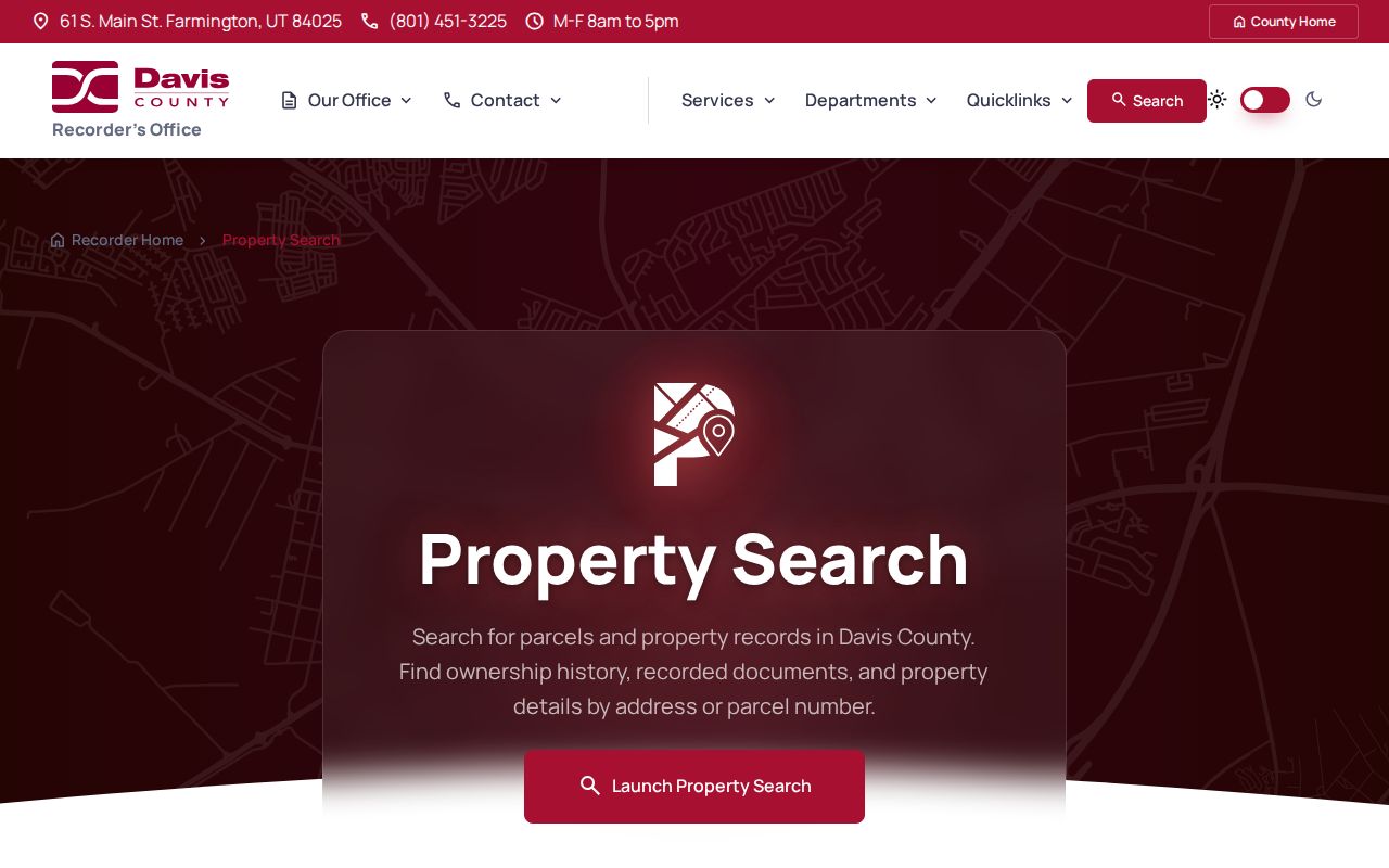
The county parcel instructions say that an address search improves when the city is selected and the suggested result is chosen. Once the map centers, click the polygon rather than relying on the first text result. A selected card can show Parcel ID and Legal Description, with a Tax Information route. That card is the bridge between the visible street and the less visible record systems.
| Parcel ID or serial | Stable county identifier to carry into property and Recorder searches. |
|---|---|
| Legal Description | Lot, subdivision, or other title description that can outlast a street label. |
| Situs address | Physical parcel location used for map placement and many city records. |
| Mailing address | Tax correspondence destination, which can be elsewhere. |
| Tax Information | Assessment or tax link tied to the selected parcel, not a resident register. |
The public map warns that information may be 24 hours or older, is not a legal document, and is not a guarantee of accuracy. Save the source date and do not convert a county display into a title opinion. The Assessor’s route uses the same Property Search map; no separate Clearfield assessor database was verified.
See the Davis County property-search explanation before beginning a street sweep.
Clearfield Street Directory Records by Address
Several record sets can be searched or requested by an address, but they answer different questions. The table below keeps the record meaning visible so a street directory does not blur owner, voter, permit, and complaint evidence into one claim.
| Record set | Keeper | Street-level value | Access |
|---|---|---|---|
| Property Search parcel card | Davis Recorder, Assessor, Treasurer | Parcel, owner display, situs, mailing and tax links | Free web map and county terminals |
| GIS parcel geometry | Davis County and Utah UGRC | Polygons, adjacent parcels and layer context | Free map or data service |
| Deeds and mortgages | Davis County Recorder | Grantor, grantee, dates, instruments and legal description | Index and office copies; REDI-Web options |
| Voter information | Utah election system | Registered voter lead at a named address | Person-level form; protected fields withheld |
| Planning and code files | Clearfield City | Permit, applicant, complaint address and narrative | Request by address and date |
| Historical directory or Clipper | Library, FamilySearch, newspaper archive | Past occupant, notice, address or household clue | Catalog, database, or library route |
The parcel ID joins the county map to the Recorder. The street string helps you locate the parcel and compare a voter result, but it is not a universal key. City code complaints can list a complaint address and an owner or renter relationship for the reporter, which is not the same as proof of who lives there.
Clearfield Street Directory GIS Layers
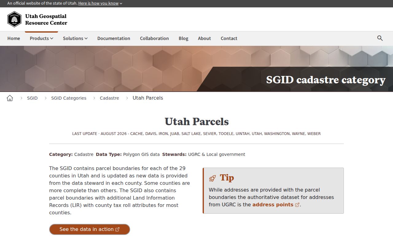
A street browse is a map exercise, not a bulk resident export. Enter a known address, let the map zoom, then click each nearby polygon. Record the parcel ID, address, legal description, and any owner or tax link shown. Utah Geospatial Resource Center parcel documentation lists useful fields in relevant Davis layers, including PARCEL_ID, SERIAL_NUM, PARCEL_ADD, PARCEL_CITY, TAX_DISTRICT, TOTAL_MKT_VALUE, ACRES, PROP_CLASS, PRIMARY_RES, HOUSE_CNT, SUBDIV_NAME, BLDG_SQFT, and BUILT_YR. The live Clearfield map may expose fewer or different fields, so label these as GIS attributes rather than promised card fields.
Map layers can help separate a main road, subdivision, industrial parcel, park edge, or Hill Air Force Base vicinity. Clearfield planning references use labels such as South Main and Chelemes Way, Lakeside and Rose Drive, Downtown, Steed Park and Winger’s, Autumn Ridge, Fisher Park, Clearfield Station, Freeport Center, Legend Hills, and East Clearfield. These are orientation labels, not a verified association roster. If a boundary matters, use the parcel geometry and the relevant city or county custodian.
The statewide parcel context is documented on the Utah Geospatial Resource Center parcel page.
Clearfield Street Directory Deed Chain
Davis County Recorder records exist from 1850, with the historical land-record collection beginning in 1870. REDI-Web’s online searchable era is approximately 1983 forward. That split explains why a current parcel may have a clean map result but no old image online. Use the free map to capture a parcel ID and legal description, then move to the Recorder or REDI-Web. Search owner, party, address, parcel or serial number, document entry number, book and page, development, location, survey index, or tie-sheet tools as the record requires.
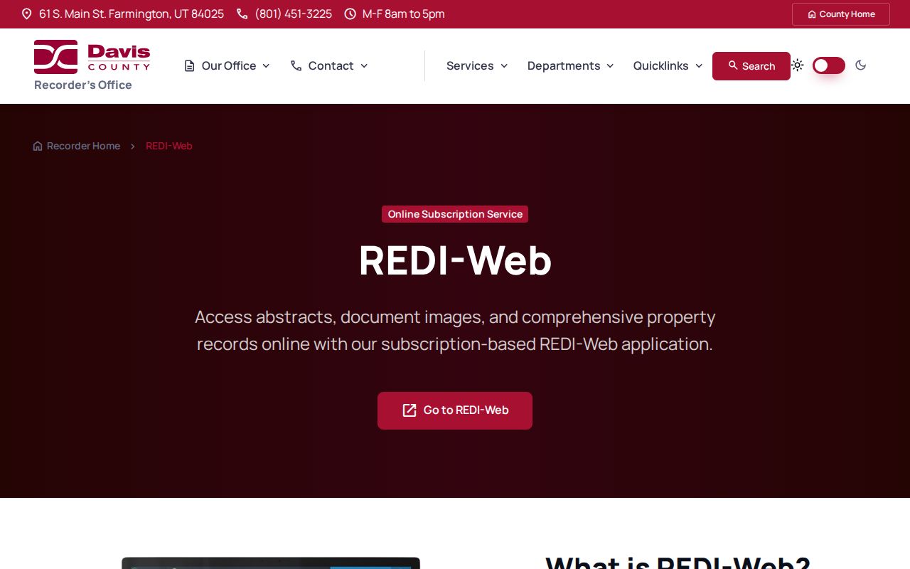
REDI-Web advertises abstracts, plats, surveys, document images, and PDFs. The research lists a $25 monthly subscription and $1 digital document copies; search charges can accrue even when a result is not returned. The Recorder office offers in-person and mail alternatives, with ordinary copies listed at $2 per page. Ask the office for help locating a parcel or record, but do not ask staff to perform a title search or give legal advice.
When a deed is found, preserve the filed party names and roles. A trust, estate, corporation, spouse, lender, or agent may appear. The recorded party is evidence of an instrument, not automatic evidence of current residence. Follow the legal description and entry number when the street address is inconsistent.
The paid-image and index distinction is described at Davis County REDI-Web.
Permits, Complaints, and City Files by Address
Clearfield City planning and building material can contain land-use applications, lot-line adjustments, accessory-dwelling applications, zoning verification, signs, building or excavation permits, plans, and owner or applicant details. No public citywide searchable permit index was verified. A request should name the street address, date range, department, and record type. Plans and attachments may be public, redacted, or restricted under GRAMA.
The code-enforcement form is explicitly address-keyed. It asks for the complaint address, whether the reporter is an owner or renter, a known owner or renter name, categories such as junk vehicles, weeds, trash, no landscaping, animals, business, or other, and required complaint details. Reporter contact information is optional and may be kept confidential, but no contact can prevent follow-up. A complaint is an allegation or administrative lead, not an adjudicated ownership record. Clearfield’s adopted fee schedule lists a standard violation fee of $50 per day for 14 days and $100 per day after, with inspection and reinspection amounts, so confirm current charges before relying on the dated schedule.
Clearfield Street Directory Historical Snapshot
The verified Clearfield City directory item from 1967 is 109 pages. Its sample puts surnames first and can combine a given name or initial, occupation or employer abbreviation, spouse in parentheses, family notation, street address, and an 825 telephone exchange. HAFB and USAF appear in the sample, a useful local clue near Hill Air Force Base. Preserve the printed form and do not silently expand an abbreviation. A directory occupant may be a family member or other non-owner, so compare the address with the county parcel and deed record.
The broader criss-cross question is harder. No official source located a complete year-by-year Clearfield reverse-directory run. Ask the Davis County Library or Farmington reference desk about reverse, criss-cross, telephone, Davis County, Clearfield, Polk, and street holdings. The Davis County Clipper archive from 1892 to 1992 can supply dated obituaries, marriage notices, civic events, legal notices, and business or school references when a directory year is missing.
For the historical shelf and entry-reading method, use the Clearfield city directory collections page. It owns the detailed library and genealogy route; this street directory uses the collection only to place past occupants by address.
Keep Postal Geography Separate From City Geography
ZIP 84015 is labeled Clearfield in state and USPS material, but the Davis County crosswalk also places Clinton, Sunset, and West Point under that ZIP. ZIP 84016 and 84089 carry Clearfield labels in official tables, while 84056 is Hill Air Force Base postal geography and may appear in a Clearfield-area health grouping. A street search should therefore record the postal label and incorporated city separately. Use USPS for delivery geography and county GIS for the municipal parcel line.
Street-directory vocabulary. A situs address is the physical location. A mailing address receives tax or other correspondence. A plat maps lots and streets. A criss-cross directory starts with the address and works toward an occupant or business. A parcel is the county polygon that joins map and property records.
What a Clearfield Street Directory Cannot Show
No public address search supplies a complete household. Renters, children, guests, unlisted occupants, utility customers, delivery recipients, and many protected people will not appear in the same place. The Driver’s Privacy Protection Act blocks ordinary public access to motor-vehicle address data. A voter hit is limited to the public fields the election system releases, and Safe at Home protects an eligible participant’s actual location behind a substitute address. Court, vital, police, and code records also have classification and redaction rules.
A street directory is most reliable when it says exactly what the record supports: parcel owner, recorded party, registered voter lead, permit applicant, complaint address, or historical occupant. For personal and lawful research, use it for a house history, civic curiosity, family connection, or neighborhood awareness. Do not use address records to stalk, harass, intimidate, or harm a person.
Lawful use. Public records in Clearfield remain subject to Utah privacy and access rules. If a result raises a safety concern, stop the search and contact the appropriate custodian or local authorities rather than pursuing private information.