
Clearfield Neighbors by Parcel
A block lookup should begin with a map definition. Find one known address, select its parcel, and identify the polygons that touch or sit immediately around it. The public source may show an owner display, mailing address, situs, legal description, tax link, or parcel ID. Those are property and geography facts. They do not identify every person inside a parcel, and a property owner may not be the person who lives there.
| Source | What it can show about a block | Access |
|---|---|---|
| Davis Property Search 2.0 | Parcel, owner display, situs, mailing, legal description, tax link | Free public map and county terminals |
| Davis GIS and Utah UGRC | Adjacent parcel polygons, address and layer attributes | Free viewer or data service |
| Recorder and REDI-Web | Recorded parties, deeds, mortgages, dates, legal descriptions | Index, office copies, or paid image route |
| Utah Voter Information | Public registration fields for a supplied person and address | Person-level form |
| Clearfield city files | Code complaint, permit, planning, police, or cemetery activity by address | Online form or custodian request |
| Directory and Clipper | Dated occupants, notices, community events, or historical address clues | Library, catalog, or archive access |
Use the record that answers the question. For a whole named street, the Clearfield street directory page owns the longer address chain. This page stays with the immediate block and nearby parcels.
Clearfield Neighbors: Click Outward
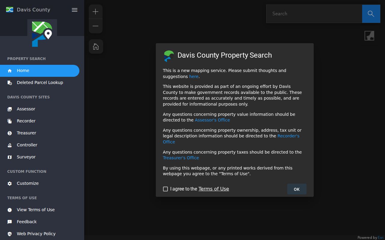
The Davis County map combines search and parcel browsing. Enter an address or parcel ID, select the dropdown suggestion, and let the map zoom. Click the known parcel, save its Parcel ID and Legal Description, then zoom out far enough to see adjacent polygons. Select each surrounding parcel one at a time and repeat the same notes. The county’s instructions favor selecting the city for better address results. The map can expose a Tax Information link, but the county warns that data may be 24 hours old, is not a legal document, and is not a guarantee of accuracy.
- Start with the known address and choose the matching Clearfield or Davis County result.
- Record the subject parcel ID, legal description, situs, owner display, mailing address, and search date.
- Zoom out and select touching or immediately surrounding polygons.
- Record each adjacent parcel key without merging mailing and situs fields.
- Use the Recorder or REDI-Web for a deed or recorded-party check on a parcel that matters.
- Use a named person in the Utah voter form only when you already have a lawful research reason and an identity clue.
Parcel polygons can reveal that a road, park, industrial site, subdivision edge, or installation boundary sits next to a residential parcel. That map context is useful. It is not a list of people who can be presumed to be part of a household or association.
Open the Davis County Property Search map to follow the adjacent-parcel method.
Clearfield Neighbors and Ownership
For each adjacent parcel, use the map’s owner display and legal description as a starting point. The Recorder has records since 1850 and a historical land collection beginning in 1870. REDI-Web’s searchable online era is approximately 1983 forward. Search owner, address, parcel or serial number, document entry number, book and page, or legal description as needed. A deed names parties to an instrument, but it does not automatically establish current residence.
REDI-Web adds abstracts, plats, surveys, and scanned images. Research materials list a $25 monthly subscription, $1 digital copies, and possible search charges even when no result returns. The Recorder lists ordinary copies at $2 per page. Use the county counter or mail route when an online image is missing. Keep grantor, grantee, mortgage, lien, trust, estate, spouse, and agent roles separate in your notes.
Block vocabulary. A parcel is the mapped property unit. A situs address is the physical location. A legal description identifies land in the deed system. An adjacent polygon is a map relationship, not proof of a shared household or social connection.
The Recorder’s deed and image options are described at Davis County REDI-Web.
Clearfield Neighbors in the Voter File
The Utah Voter Information form accepts First Name, Last Name, Date of Birth, Street Address, City, and Zip. A public result can include name, physical and mailing address, year of birth, party, and vote history. It is a person-level match, not a block roster or ZIP-wide export. A nearby parcel owner’s name is not enough to run a reliable match; add a date, address, or other identity clue.
Protected voters and sensitive fields are withheld. Utah Safe at Home participants receive a substitute address and mail-forwarding service, while actual location, mailing, city, county, and voting-precinct information is protected. A blank result should not be treated as evidence that the parcel is empty or that a person is absent from the block. The statewide voter file has a separate request route, fees, timing notices, and protected exclusions.
Clearfield Neighbors Are Not a Household List
The map can identify land units and recorded property relationships. It cannot show every renter, child, guest, roommate, delivery recipient, utility customer, or unlisted occupant. The Driver’s Privacy Protection Act keeps motor-vehicle address data out of an ordinary public search. Utility customer information is not a public substitute for a resident roll. Clearfield code complaints can show a complaint address, category, reporter relationship, and narrative, but a complaint is not adjudicated proof of who owns or lives there.
City planning can hold permits, land-use applications, lot-line adjustments, zoning verification, building or excavation permits, plans, and applicant or owner details. No citywide searchable permit index was verified. Request by address, department, and date, and expect classification or redaction where required. A city file is about an official activity at a place, not a social directory.
Historical Clearfield Neighbors
For an older block, use the 1967 Clearfield directory, Davis County Clipper issues from 1892 to 1992, census pages released through 1950, and Recorder deeds. The directory sample combines a surname, given name or initial, spouse notation, occupation or installation abbreviation, address, and 825 telephone exchange. HAFB and USAF appear in the sample. A Clipper notice can date a death, marriage, public event, or move. Census pages add household relationships and ages. Deeds identify legal ownership. These sources can disagree because they describe different roles and dates.
No official source located a complete Clearfield reverse-directory run or a full association roster. Planning labels such as South Main, Lakeside, Downtown, Steed Park, Autumn Ridge, Fisher Park, Clearfield West End, Clearfield Station, Kwanis, Freeport Center, Legend Hills, East Clearfield, and the Hill AFB vicinity help orient a map but are not all legal neighborhoods or membership groups. Do not turn an area label into a named community contact list.
Clearfield Neighbors and Planning Areas
Clearfield planning and GIS materials provide useful area names and map context. The research did not locate a verified current chamber directory, comprehensive neighborhood-association roster, HOA member list, block-watch directory, alumni list, or religious membership directory. Civic and community sources may be useful for a published event, public meeting, or historical notice, but current private membership information should not be inferred from a parcel map.
| Planning or map label | Orientation for land use, parks, roads, or development context. |
|---|---|
| Parcel polygon | County geography and property key. |
| Recorded owner | Party shown in a property record, subject to date and record limits. |
| Public voter result | Released fields for one supplied person, with protected exclusions. |
| Association roster | No comprehensive official current roster was verified. |
If a civic group publishes an official contact route, use that route rather than assembling private names from neighboring parcels. A community connection should be voluntary and low-detail.
Clearfield Neighbors and Official Records
Official sources are slower because each one has a defined custodian and access rule. The Davis map is useful for parcels, the Recorder for instruments, voter information for a narrow named match, city offices for address-based activity, and the library or Archives for history. Commercial people-finding tools may combine stale or copied data, place results behind fees, and obscure the original custodian. A search result from any source still needs a date and independent check.
For a Clearfield block, the official route is also more transparent. It lets you see whether the fact is a parcel card, deed, voter field, permit, complaint, newspaper notice, or historical directory line. Do not treat a convenient combined profile as more authoritative than the record that created the underlying fact.
Privacy Limits on a Clearfield Neighbor Lookup
Utah GRAMA, Title 63G Chapter 2, offers a written request path for public city or county records not exposed online. Name the record, date range, department, and subject with enough detail for the custodian to search. The entity generally responds within 10 business days, subject to exceptions and extraordinary circumstances, and may release segregable public portions. Protected addresses, sensitive voter fields, sealed court material, vital records, motor-vehicle data, and utility customer data remain outside ordinary block research.
Use a neighbor lookup for lawful personal reasons such as learning a block’s public history, reconnecting through a voluntary community channel, or understanding parcel context. Do not use address data to watch, stalk, harass, intimidate, threaten, or harm anyone. Stop when the source reaches a confidentiality boundary.
Lawful use. Safe at Home and protected-voter rules exist for safety. A substitute address is not an invitation to locate the actual residence. Respect redactions and contact the custodian when a record needs clarification.
Clearfield Neighbor-Data Scams
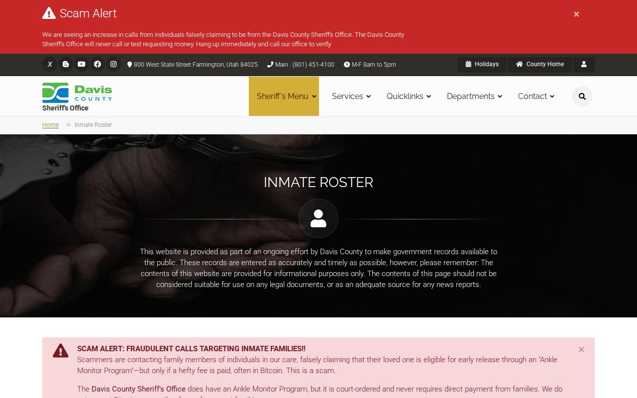
Davis County and Clearfield publish recognizable official routes and fee benchmarks. A message demanding urgent money, gift cards, account credentials, or a payment to “unlock” a parcel or court record is not made official by a case number or parcel ID. Navigate from the city, county, Utah Courts, USPS, Archives, or state agency domain. The Davis County Sheriff says it will not call or text asking for money, and court or unclaimed-property claims should be verified through the official office.
Save the sender, date, phone number, URL, demanded amount, and screenshots. Report immediate threats to 911, a records concern to the custodian or Utah consumer-protection route, and a court impersonation to Clearfield City Justice Court at 801-525-2760. A careful block lookup protects both the researcher and the people whose public records are being read.